AL02 Max 3D Land Leveling System
Survey, design, and level fields from one connected workflow.
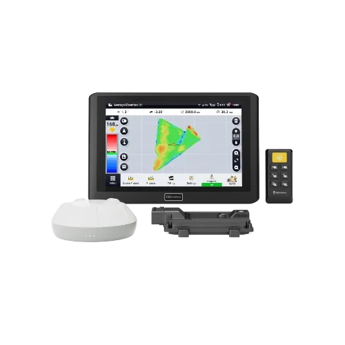
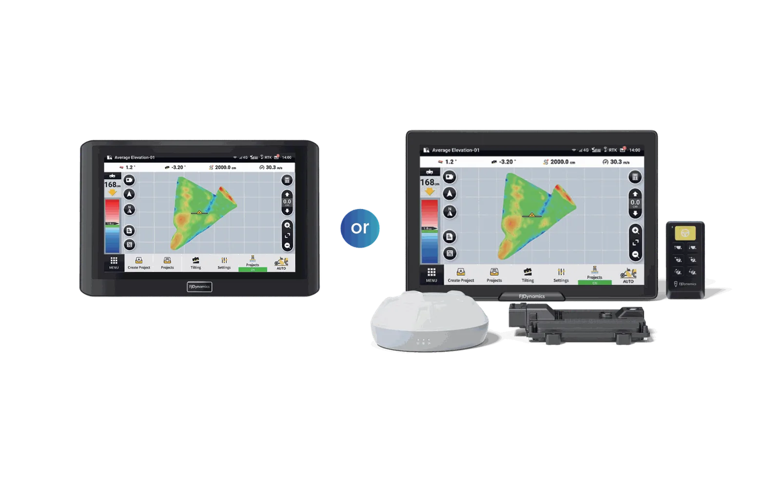
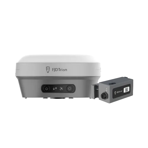
The FJD AL02 Max combines GNSS terrain surveying, surface design, and automatic blade control in one system. It helps operators follow a target surface while leveling, share project files between machines, and keep records of completed work.
Best for: Farmers and water-management contractors leveling flat or sloped fields with tractors.
Talk To Farm Experts Call or Text (580) 394-0089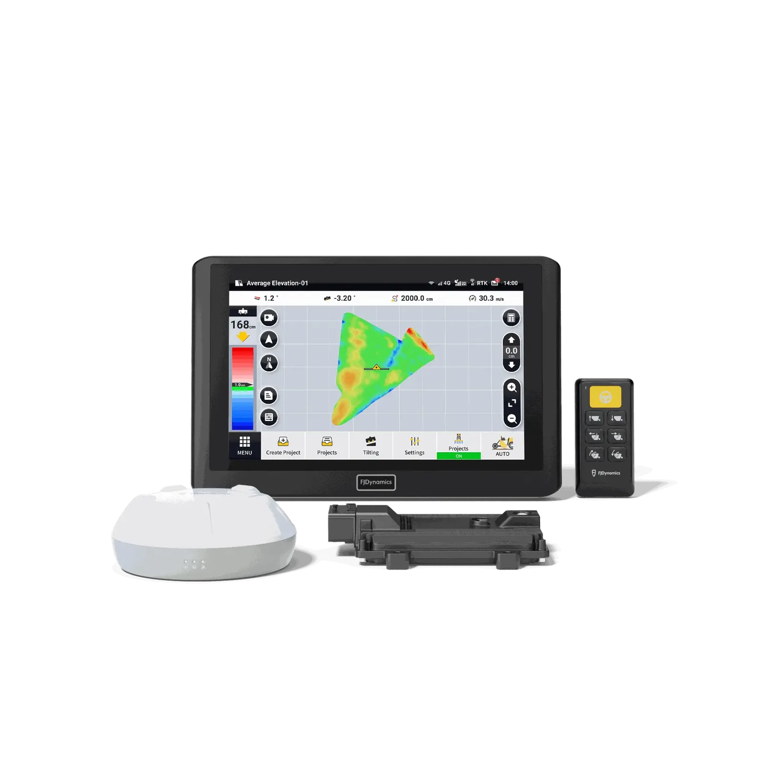
What the AL02 Max does for you
Survey the Terrain
Capture terrain data with GNSS positioning before leveling begins.
Design Target Surfaces
Create level, single-slope, or double-slope surface designs for the field.
Control Blade Height
The system controls blade height as the tractor follows the target surface.
Transfer Project Files
Import and export survey and design files between supported equipment and project stages.
Coordinate Multiple Machines
Share project files among tractors equipped with AL02 Max so machines can work from the same plan.
Save Project Records
Completed projects are saved in project management. Operators can review history and generate PDF reports.
At a glance
| Positioning | GNSS-based |
|---|---|
| Surface types | Level, single-slope, and double-slope |
| Machine coordination | Supports project sharing among multiple AL02 Max-equipped tractors |
| Reports | PDF project reports |
Compatibility
Designed for tractors used with land-leveling equipment and blade control. Call DST to confirm fitment for your tractor and leveling setup.
Not sure it fits your equipment? Send us the make, model and year and we will tell you straight.
Common questions
Can the AL02 Max level a sloped field?
Yes. It supports level, single-slope, and double-slope surface designs.
Can more than one tractor use the same project?
Yes. Project files can be shared among tractors equipped with AL02 Max.
Can I move survey and design files between machines or project stages?
The system supports importing and exporting survey and design files. Call DST to confirm the file workflow for your equipment.
More in Land Leveling & Drainage
Farmers helping farmers
Two-year warranty. One-year buy-back guarantee. US-based support out of Oklahoma.